 Analysis byWeUseApps
I can lose a surprising amount of time in Google Earth without setting out to do anything practical. One moment I’m checking the shape of a coastline; a few minutes later I’m following a river inland and comparing it with the roads and neighborhoods nearby. That easy shift from quick lookup to open-ended exploring is the app’s strongest first impression. It feels less like a conventional travel guide and more like a globe I can keep turning until a place catches my attention.
That appeal comes with a useful distinction: Google Earth is for understanding places visually, not for handling every part of a journey. I reach for it when I want context, a sense of landscape, or a closer look at how a destination fits together. If I need step-by-step directions or a dependable plan for getting across town, a navigation app is usually the better tool.
Why the first week feels like an invitation to explore
As a free travel and local app from Google LLC, Google Earth has a very low barrier to trying it. It is rated for Everyone, and its reach is substantial: more than 500 million installs, with an average rating of 3.8 from around three million ratings. Those figures suggest a widely used app, but they don’t tell me whether it will suit my habits. The answer depends on whether I enjoy looking around as much as getting somewhere.
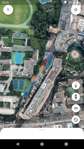
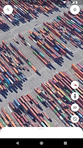
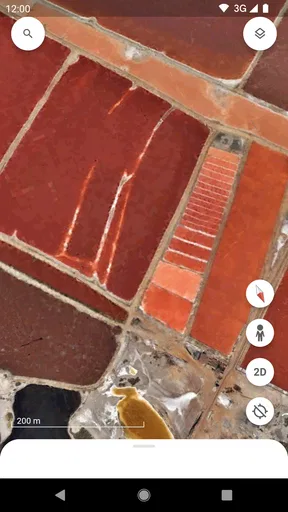
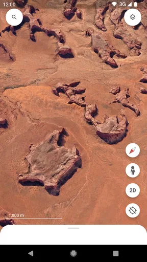
The satisfying part is the change of scale. A broad view gives me a sense of a region, while zooming in can make a specific neighborhood, bend in a road, or patch of green feel more legible. I find that especially useful before visiting somewhere unfamiliar. Instead of memorizing a list of nearby landmarks, I can notice the larger layout: whether a destination sits beside a river, beyond a ridge, or amid dense streets.
One practical trick is to start with a question rather than a random location. “How does the old town meet the waterfront?” or “What lies between the station and the park?” gives the exploration a purpose. I’m less likely to wander aimlessly, and the view becomes a way to build a mental map rather than just a collection of attractive images.
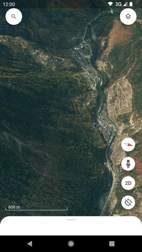
It is also a good companion for armchair travel. I can trace a mountain chain, follow a coastline, or inspect the shape of a city without needing to assemble information from several separate screens. That makes the app enjoyable even when I have no trip planned. The important caveat is that looking at a place is not the same as being there: the imagery can give spatial context, but it cannot tell me what a street feels like at a particular moment.
Useful before a trip, but not a replacement for navigation
A realistic use is preparing for a weekend visit. Before leaving, I might inspect the area around my accommodation, see how the neighborhood relates to a park or waterfront, and identify the general direction of places I hope to visit. That gives me a better sense of the destination than a list of names alone. Once I’m actually on the move, though, I would switch to a dedicated map or navigation app for route guidance and current travel decisions.
This is where Google Earth differs from the usual alternatives in its category. A standard map is often faster for searching an address, comparing routes, or planning a journey. Earth is more compelling when the question is “What does this place look like in relation to everything around it?” I treat those tools as complementary rather than expecting one to do both jobs equally well.
There is a trade-off in that visual approach. A broad, immersive view can help me understand a landscape, but it may not answer a practical question quickly. If I’m standing outside a building and want the quickest route to a café, opening a navigation-focused map is simpler. If I’m deciding whether a distant destination looks tucked into a valley or spread across a plain, Earth is the more natural choice.
What keeps it useful after the novelty fades
The first burst of curiosity can wear off; the longer-term value comes from returning with specific reasons to look. I use it to get oriented before a trip, revisit a place I remember, or satisfy a passing question about geography. Those are small, repeatable habits rather than a daily routine, and that is a strength. The app does not need to become part of every outing to earn a place on my phone.
A particularly useful workflow is to compare the destination with its surroundings before making plans. I look beyond the point I’m interested in and pay attention to the routes, natural features, and neighboring areas that shape it. That can help me decide what deserves a closer look or whether two places that sound near each other are actually separated by a substantial stretch of terrain. It is a planning aid for perspective, not a promise about travel time.
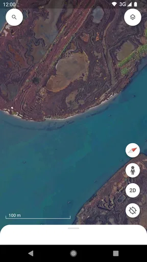
I also find that returning to a location with a narrower question makes the experience richer. On a first visit, I may simply explore. Later, I can focus on how the shoreline curves, where a road crosses a valley, or how a neighborhood spreads outward. The same view can answer different questions depending on what I notice, which gives the app more staying power than a one-time novelty.
There are limits to what I would infer from imagery. It is helpful for broad visual orientation, but I would not treat it as proof that a place is currently open, accessible, or unchanged. For time-sensitive details, I would check a current source; for the exact route on the day, I would use navigation. This distinction matters because a visually convincing view can feel more definitive than it really is.
The app’s 3.8 average rating is a reminder that a large audience does not mean everyone will love the experience. I can see why: people who expect a fast, task-first map may find the exploratory style less direct, while people who enjoy visual context may value exactly that difference. The best measure is whether I have a recurring reason to open it, not whether its first few minutes are impressive.
Low upkeep, with a few reasons to close it
For me, maintenance is minimal in the everyday sense: there is no elaborate setup or routine to keep up with. I can open the app when curiosity strikes and leave it alone when it does not. That low commitment makes it easy to keep installed, especially if I travel occasionally or like learning about geography in spare moments.
The more meaningful cost is attention. Because there is always another place to inspect, casual exploration can turn into a long detour. I avoid that by deciding what I want to find before I start, or by treating a short session as a quick visual check rather than an open-ended browsing session. That small habit keeps the app useful instead of letting it become another source of idle scrolling.
Another source of fatigue is expecting it to replace a map app built around immediate decisions. Searching for a destination and wanting a direct route is a different task from examining the landscape. If I use Earth for the first and feel slowed down, that is not a reason to force the fit; it is a cue to switch tools. A good travel setup can include both, each for the job it handles better.
I would also skip it if I rarely have any interest in places beyond their addresses. Someone who only needs quick directions, nearby stops, or a simple route may get more everyday value from a conventional map. Likewise, it is not my first choice when accuracy about current conditions matters most. Its strongest contribution is perspective, and perspective is valuable only when that is what I’m seeking.
Does it deserve lasting space?
Google Earth has been available since February 22, 2010, and it remains a recognizable way to explore the planet from a phone. Its longevity does not make it essential for everyone, but the core appeal is easy to understand: it turns a place into something I can inspect rather than just name or navigate to. That is a distinct use, and it still feels worthwhile when I approach it with the right expectations.
My long-term verdict is that it earns its space for curious travelers, geography-minded users, and anyone who likes to understand a destination before arriving. It is also a pleasant option for those moments when I want to explore without committing to a trip. I would not recommend relying on it as a complete travel planner or as my only map. Use a navigation app for getting around, then open Earth when you want the wider view.
That division of labor is what makes the app last for me. It does not need to be opened every day; it needs to be there when a place prompts a question. If you find yourself looking beyond the destination pin—toward the terrain, the layout, and the connections around it—this free app is easy to justify keeping. If all you want is the quickest route, you can safely make another map your everyday choice.
What we like
- Explore detailed 3D maps of cities and landscapes.
- Use Street View to preview many locations at ground level.
- View historical imagery to see how places have changed.
- Measure distances and areas directly on the map.
- Create and share custom maps with placemarks and notes.
What could be better
- Some 3D imagery and map details are unavailable in certain areas.
- High-resolution imagery can take time to load on slower connections.
- Downloading map areas for offline use is not supported.
- Frequent use of satellite imagery can consume substantial data.
- Some features work best on devices with larger screens.